
Mappa topografica Paint Lake
Clicca sulla mappa per visualizzare l'altitudine.
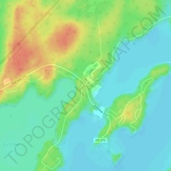
A proposito di questa mappa
Nome: Mappa topografica Paint Lake, altitudine, rilievo.
Luogo: Paint Lake, Manitoba, Canada (55.48614 -98.03971 55.50614 -98.01971)
Altitudine media: 198 m
Altitudine minima: 182 m
Altitudine massima: 226 m
Altre mappe topografiche
Clicca su una mappa per visualizzarne la topografia, l'altitudine e il rilievo.
Winnipeg
Winnipeg lies at the bottom of the Red River Valley, a flood plain with an extremely flat topography. It is on the eastern edge of the Canadian Prairies in Western Canada and is known as the "Gateway to the West". Winnipeg is bordered by tallgrass prairie to the west and south and the aspen parkland to the…
Altitudine media: 236 m
Riding Mountain National Park
The climate in the Riding Mountain region is similar to that of other regions of southwestern Manitoba. Under the Köppen classification it has a continental climate. It includes grasslands, upland boreal and eastern deciduous forest ecosystems. The park has hot summers and cold winters, with annual rainfall…
Altitudine media: 488 m