

Mappe topografiche Kent
Clicca su una mappa per visualizzarne la topografia, l'altitudine e il rilievo.






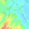
Shalmsford Street
United Kingdom > England > Kent > Canterbury > Shalmsford Street
Altitudine media: 54 m



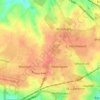
Park Gate
United Kingdom > England > Kent > Folkestone and Hythe District > Elham
Altitudine media: 130 m



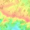
Hickmans Green
United Kingdom > England > Kent > Borough of Swale > Boughton Street
Altitudine media: 63 m



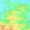
Ottinge
United Kingdom > England > Kent > Folkestone and Hythe District > Elham
Altitudine media: 133 m













South Street
United Kingdom > England > Kent > Gravesham > Culverstone Green > South Street
Altitudine media: 157 m

A proposito di questo posto
Borough of Swale • Maidstone • Sevenoaks • Ashford • Folkestone and Hythe District • Canterbury • Dover • Tonbridge and Malling • Tunbridge Wells • Gravesham • Thanet • Dover • Dartford • Ashford • Dartford • Thanet District • Folkestone and Hythe • Swale • Swanley • Ebbsfleet Garden City • Greater London • Whitstable