
Mappa topografica Srinagar
Clicca sulla mappa per visualizzare l'altitudine.
A proposito di questa mappa
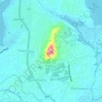
Nome: Mappa topografica Srinagar, altitudine, rilievo.
Altitudine media: 1’598 m
Altitudine minima: 1’580 m
Altitudine massima: 1’737 m
Altre mappe topografiche
Clicca su una mappa per visualizzarne la topografia, l'altitudine e il rilievo.
Dal Lake
India > Jammu and Kashmir > Srīnagar > Srinagar
The average elevation of the lake is 1,583 metres (5,194 ft). The depth of water varies from 6 metres (20 ft) at its deepest in Nigeen lake to 2.5 metres (8.2 ft), the shallowest at Gagribal. The depth ratio between the maximum and minimum depths varies with the season between 0.29 and 0.25, which is…
Altitudine media: 1’715 m