
Mappa topografica Ostern
Mappa interattiva
Clicca sulla mappa per visualizzare l'altitudine.
A proposito di questa mappa
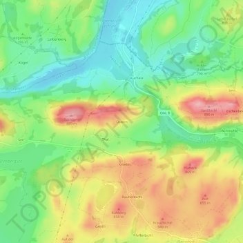
Nome: Mappa topografica Ostern, altitudine, rilievo.
Altitudine media: 798 m
Altitudine minima: 735 m
Altitudine massima: 881 m
Altre mappe topografiche
Clicca su una mappa per visualizzarne la topografia, l'altitudine e il rilievo.
Hochplatte
Deutschland > Bayern > Landkreis Ostallgäu > Halblech
Hochplatte, Halblech, Landkreis Ostallgäu, Bayern, Deutschland
Altitudine media: 1’646 m
Hirschwang
Deutschland > Bayern > Landkreis Ostallgäu > Halblech
Hirschwang, Halblech, Landkreis Ostallgäu, Bayern, Deutschland
Altitudine media: 1’481 m