
Mappa topografica Capton
Clicca sulla mappa per visualizzare l'altitudine.
A proposito di questa mappa
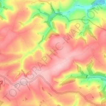
Nome: Mappa topografica Capton, altitudine, rilievo.
Altitudine media: 125 m
Altitudine minima: 0 m
Altitudine massima: 194 m
Altre mappe topografiche
Clicca su una mappa per visualizzarne la topografia, l'altitudine e il rilievo.
Ivybridge
United Kingdom > England > Devon > South Hams
The topography of Ivybridge is generally hilly. This is because of the River Erme which flows right through the centre of town. To the east and to the west of the river the land is elevated forming a valley. The river first enters the town at 300 feet (91 m) above sea level and leaves the town at 130 feet (40…
Altitudine media: 114 m
Blackpool Sands
United Kingdom > England > Devon > South Hams > Stoke Fleming > Blackpool
Altitudine media: 54 m
Brent Hill Hifort
United Kingdom > England > Devon > South Hams > Didworthy > Shipley Bridge
Altitudine media: 193 m