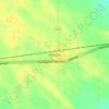
Mappa topografica Creighton
Clicca sulla mappa per visualizzare l'altitudine.
A proposito di questa mappa

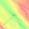
Nome: Mappa topografica Creighton, altitudine, rilievo.
Luogo: Creighton, Saskatchewan, S0P 0A0, Canada (54.73363 -101.92394 54.79188 -101.87276)
Altitudine media: 335 m
Altitudine minima: 262 m
Altitudine massima: 354 m
Altre mappe topografiche
Clicca su una mappa per visualizzarne la topografia, l'altitudine e il rilievo.


















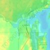
Porcupine Hills
Canada > Saskatchewan > Hudson Bay No. 394
The Porcupine Hills refer to various groups of hills and uplands in the Canadian provinces of Saskatchewan and Manitoba. They are part of the Manitoba Escarpment, which was the shoreline of the ancient glacial Lake Agassiz. The hills are located north-west of Swan River, Manitoba, and are the headwaters of the…
Altitudine media: 611 m

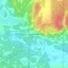
Buffalo Pound Provincial Park
Canada > Saskatchewan > Marquis No. 191
Nicolle Flats Marsh, with a total area of 73.18 km2 (28.25 sq mi) and an elevation of 511 m (1,677 ft), is a large marshy area located in the park at the south-east corner of Buffalo Pound Lake. The confluence of the Qu'Appelle and Moose Jaw Rivers is in the marsh. The area is an Important Bird Area of Canada…
Altitudine media: 572 m


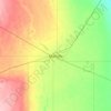
McClean Lake
Canada > Saskatchewan > Division No. 18 > Unorganized Division No. 18
Altitudine media: 440 m



















La Loche
Canada > Saskatchewan > Northern Saskatchewan Administration District > La Loche
Altitudine media: 447 m