

Mappa topografica Netrang
Clicca sulla mappa per visualizzare l'altitudine.
Netrang
Netrang lies in the southern part of the Gujarat peninsula at an elevation of 435 metres (1,427 ft) and has a tropical savanna climate (under Köppen's Climate classification), moderated by the Arabian Sea. The summer begins in early March and lasts until June. April and May are the hottest months, the average maximum temperature being 43 °C (109 °F). The monsoon season begins in late June and the town receives about 800 millimetres (31 in) of rain by the end of September, with the average maximum temperature being 32 °C (90 °F) during those months. October and November see the retreat of the monsoon and a return of high temperatures until late November. Winter starts in December and ends in late February, with average temperatures of around 23 °C (73 °F).
A proposito di questa mappa
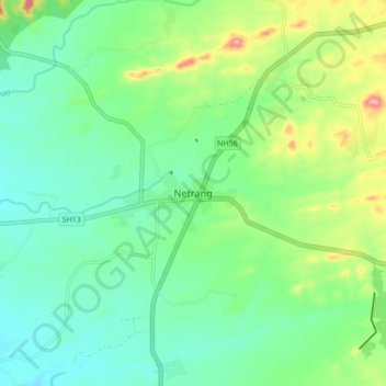
Nome: Mappa topografica Netrang, altitudine, rilievo.
Luogo: Netrang, Netrang Taluka, Bharuch, Gujarat, 393130, India (21.59957 73.32620 21.67957 73.40620)
Altitudine media: 131 m
Altitudine minima: 91 m
Altitudine massima: 229 m