
Mappa topografica Pine Bluff
Mappa interattiva
Clicca sulla mappa per visualizzare l'altitudine.
A proposito di questa mappa
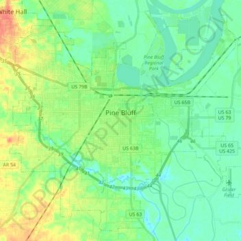
Nome: Mappa topografica Pine Bluff, altitudine, rilievo.
Luogo: Pine Bluff, Jefferson County, Arkansas, United States (34.14586 -92.09322 34.27595 -91.92123)
Altitudine media: 69 m
Altitudine minima: 54 m
Altitudine massima: 100 m
The city is situated in the Southeast section of the Arkansas Delta and straddles the Arkansas Timberlands region to its west. Its topography is flat with wide expanses of farmland, similar to other places in the Delta Lowlands. Pine Bluff has numerous creeks, streams, and bayous, including Bayou Bartholomew, the longest bayou in the world and the second most ecologically diverse stream in the United States. Large bodies of water include Lake Pine Bluff, Lake Langhofer (Slack Water Harbor), and the Arkansas River.