
Mappa topografica Amarnath Cave Temple
Clicca sulla mappa per visualizzare l'altitudine.
Amarnath Cave Temple
The Shiva Lingam at the shrine is a Swayambhu lingam. The lingam is a natural stalagmite formation located at the Amarnath Mountain which has a peak of 5,186 metres (17,014 ft), and inside a 40 m (130 ft) high cave at an elevation of 3,888 m (12,756 ft). The stalagmite is formed due to the freezing of water drops that fall from the roof of the cave onto the floor resulting in an upward vertical growth of ice. There are different types of stalagmites. Here, the stalagmites considered as the lingam, a physical manifestation of Shiva, form a solid-dome-shape. Parvati and Ganesha are also present here as two smaller stalagmites.
A proposito di questa mappa
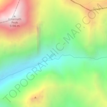
Nome: Mappa topografica Amarnath Cave Temple, altitudine, rilievo.
Altitudine media: 4’325 m
Altitudine minima: 3’719 m
Altitudine massima: 5’200 m
Altre mappe topografiche
Clicca su una mappa per visualizzarne la topografia, l'altitudine e il rilievo.