

Mappa topografica Clyde River
Clicca sulla mappa per visualizzare l'altitudine.
Clyde River
The Stone House was built from Island sandstone in 1842, located adjacent to the Trans Canada High Way in Clyde River, PEI. In 1843, the property was purchased by Ambrose Lane and the house was used as hunting lodge. After the passing of the owner in 1853, the house had various owners. In the 1970s the house was purchase by the Atwell family. Now the Stone House is referred to as the Atwell House. The house is one of eight remaining sandstone homes that were constructed in the 1800s. The house is unique because if the 21 inch cavity walls, the size and placement of the windows and doors, the Island sandstone construction, the interior arrangement of rooms and the dormer of the front elevation. Today the Wood family resides in the Stone House.[11]
A proposito di questa mappa
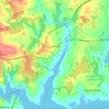
Nome: Mappa topografica Clyde River, altitudine, rilievo.
Altitudine media: 27 m
Altitudine minima: -3 m
Altitudine massima: 74 m