
Mappa topografica Potchefstroom
Mappa interattiva
Clicca sulla mappa per visualizzare l'altitudine.
Potchefstroom
Potchefstroom has hosted two World Cup-winning teams (in cricket and football), and is a home away from home for international athletes and teams. At 1,400 metres (4,600 ft) altitude, it provides a good balance between altitude and quality training. The city has no large factories, and good air quality. Athletes and professional teams train at the North-West University's High Performance Institute of Sport.
A proposito di questa mappa
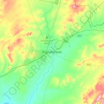
Nome: Mappa topografica Potchefstroom, altitudine, rilievo.
Altitudine media: 1’392 m
Altitudine minima: 1’296 m
Altitudine massima: 1’612 m