
Mappa topografica Mariepskop
Mappa interattiva
Clicca sulla mappa per visualizzare l'altitudine.
Mariepskop
Several distinguishable plant communities have been described. The foothills are covered in low altitude woodlands, which are distinguished as lowveld gallery forest, savanna on mountain slopes, savanna on rocky terrain and submontane forest. In the mountain's higher reaches the high mountain grassland is locally replaced by a type of fynbos vegetation. The higher elevations are home to the mountain plateau, Widdringtonia and montane forest plant communities.
A proposito di questa mappa
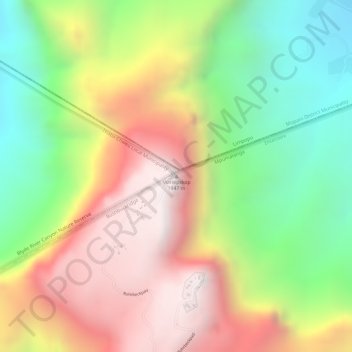
Nome: Mappa topografica Mariepskop, altitudine, rilievo.
Altitudine media: 1’445 m
Altitudine minima: 930 m
Altitudine massima: 1’948 m