
Mappa topografica Clogheen
Clicca sulla mappa per visualizzare l'altitudine.
Clogheen
Lewis' Topographical Dictionary of 1837 notes Clogheen as being located in the barony of Iffa and Offa West and reported that there were 1,928 inhabitants, a military barracks for the accommodation of two troops of cavalry, an extensive brewery, plus seven flour mills in the town and neighbourhood.
A proposito di questa mappa
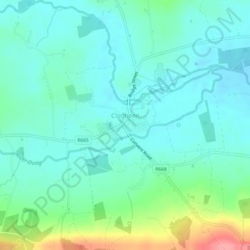
Nome: Mappa topografica Clogheen, altitudine, rilievo.
Altitudine media: 65 m
Altitudine minima: 44 m
Altitudine massima: 135 m
Altre mappe topografiche
Clicca su una mappa per visualizzarne la topografia, l'altitudine e il rilievo.