
Mappa topografica Medford Lakes
Mappa interattiva
Clicca sulla mappa per visualizzare l'altitudine.
Medford Lakes
The borough experienced heavy damage on July 12, 2004, during a day which saw 7.26 inches (184 mm) of rain fall over a 14-hour period. The heavy rain caused a series of dam breaks and breaches in the surrounding areas of Southern New Jersey, which have since been replaced. Quogue Dam, as well as both Lower and Upper Aetna Lake Dams failed, with high water levels on portions of Ballinger Run exceeding 500-year flood elevations
A proposito di questa mappa
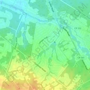
Nome: Mappa topografica Medford Lakes, altitudine, rilievo.
Altitudine media: 27 m
Altitudine minima: 17 m
Altitudine massima: 40 m