
Mappa topografica Sistema Ibérico
Mappa interattiva
Clicca sulla mappa per visualizzare l'altitudine.
A proposito di questa mappa
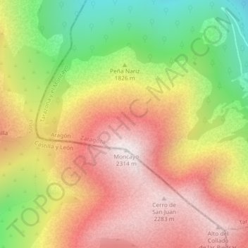
Nome: Mappa topografica Sistema Ibérico, altitudine, rilievo.
Altitudine media: 1’906 m
Altitudine minima: 1’413 m
Altitudine massima: 2’313 m
The geology of the Iberian System is complex, for it can hardly be defined as a homogeneous system. It is composed of a haphazard and motley series of mountain ranges, massifs, plateaus and depressions without a definite common petrologic composition and overall structure. Nummulite limestone, marble and sandstone are common throughout the area. Some of the parts of the system stand geologically isolated, interrupting the continuity of the whole, linked to the other parts through high plateaus of varying altitudes.