
Mappa topografica Lemoore
Mappa interattiva
Clicca sulla mappa per visualizzare l'altitudine.
A proposito di questa mappa
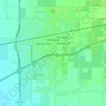
Nome: Mappa topografica Lemoore, altitudine, rilievo.
Luogo: Lemoore, Kings County, California, United States (36.26343 -119.84358 36.32195 -119.76404)
Altitudine media: 66 m
Altitudine minima: 61 m
Altitudine massima: 72 m
Lemoore (formerly, La Tache and Lee Moore's) is a city in Kings County, California, United States. Lemoore is located 7.5 miles (12 km) west-southwest of Hanford, at an elevation of 230 feet (70 m). It is part of the Hanford-Corcoran Metropolitan Statistical Area (MSA Code 25260). The population was 24,531 at the 2010 Census. The California Department of Finance estimated that Lemoore's population was 26,725 on July 1, 2019.