

Mappa topografica Colorado River
Clicca sulla mappa per visualizzare l'altitudine.
Colorado River
The entire eastern boundary of the Colorado River Basin runs along the North American Continental Divide and is defined largely by the Rocky Mountains and the Rio Grande Basin. The Wind River Range in Wyoming marks the northern extent of the basin, and is separated from the Colorado Rockies by the endorheic Great Divide Basin in southwestern Wyoming. Streams that are nearby the east side of the divide drain into the Mississippi River and Rio Grande, while nearby areas north of the Wind River Range drain into the Columbia River. The western boundary of the Colorado River Basin is formed by various ranges and plateaus that border the Great Basin, including the Uinta Mountains and Wasatch Range. Major Great Basin watersheds bordering the Colorado River Basin are the Great Salt Lake and Sevier Lake watersheds. To the south, the Colorado River Basin borders several watersheds in Mexico draining into the Gulf of California, including the Sonoyta, Concepción, and Yaqui rivers. Much of the basin is at high elevation; the mean elevation is 5,500 feet (1,700 m). Lees Ferry, more than halfway along the Colorado River from its source, is 3,150 feet (960 m) above sea level. The highest point in the Colorado River Basin is 14,321-foot (4,365 m) Uncompahgre Peak in Colorado's San Juan Mountains, while some water from the river drains via irrigation run-off into California's Salton Sea, 236 feet (72 m) below sea level.
A proposito di questa mappa
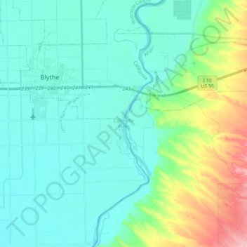
Nome: Mappa topografica Colorado River, altitudine, rilievo.
Altitudine media: 102 m
Altitudine minima: 72 m
Altitudine massima: 213 m