
Mappa topografica Tenkiller Ferry Lake
Mappa interattiva
Clicca sulla mappa per visualizzare l'altitudine.
Tenkiller Ferry Lake
The hydroelectric power station is remotely controlled from the control center at Fort Gibson Lake. Two generators, each rated for 17 megawatts, provide a total capacity of 34 megawatts (MWe). The facility can handle 40 MWe for a short period of time. However, the amount of power that can actually be generated depends heavily on the lake elevation at any given time.
A proposito di questa mappa
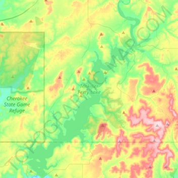
Nome: Mappa topografica Tenkiller Ferry Lake, altitudine, rilievo.
Altitudine media: 258 m
Altitudine minima: 150 m
Altitudine massima: 448 m