
Mappa topografica Harlowton
Mappa interattiva
Clicca sulla mappa per visualizzare l'altitudine.
Harlowton
The Upper Musselshell River Valley is named for the Musselshell River, which got its name from the large number of freshwater mussels found in its river bed. In the fall and winter weather, the bison would migrate to the lower altitudes along the Musselshell River. Early plains hunters, taking advantage of the large bison population, frequented this area. Some of the tribes that traveled through the area were the Crow, Blackfeet, Flathead, Gros Ventre, Northern Cheyenne, Nez Perce, Shoshones, Sioux, and Assiniboine.
A proposito di questa mappa
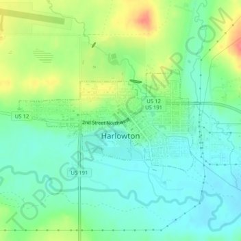
Nome: Mappa topografica Harlowton, altitudine, rilievo.
Luogo: Harlowton, Wheatland County, Montana, United States (46.43090 -109.85193 46.44233 -109.82353)
Altitudine media: 1’286 m
Altitudine minima: 1’264 m
Altitudine massima: 1’327 m