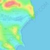
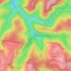
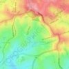
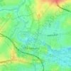
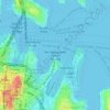
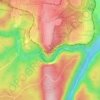
Mappa topografica Woronora
Clicca sulla mappa per visualizzare l'altitudine.
Woronora
Woronora Plateau, is a geographical region adjacent to the Sydney Plain. Slightly higher in altitude, it is capped with Hawkesbury Sandstone. The Woronora River flows through the deeply dissected plateau to the Georges River from near the sources of the Port Hacking, within the Sutherland Shire.
A proposito di questa mappa

Nome: Mappa topografica Woronora, altitudine, rilievo.
Altitudine media: 65 m
Altitudine minima: -3 m
Altitudine massima: 118 m
Altre mappe topografiche
Clicca su una mappa per visualizzarne la topografia, l'altitudine e il rilievo.