
Mappa topografica Mariana Islands
Mappa interattiva
Clicca sulla mappa per visualizzare l'altitudine.
A proposito di questa mappa
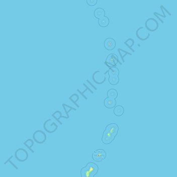
Nome: Mappa topografica Mariana Islands, altitudine, rilievo.
Altitudine media: 0 m
Altitudine minima: 0 m
Altitudine massima: 874 m
The island chain geographically consists of two subgroups, a northern group of ten volcanic main islands, all are currently uninhabited; and a southern group of five coralline limestone islands (Rota, Guam, Aguijan, Tinian and Saipan), all inhabited except Aguijan. In the northern volcanic group a maximum elevation of about 2,700 feet (820 m) is reached; there are craters showing signs of activity, and earthquakes are not uncommon. Coral reefs fringe the coasts of the southern isles, which are of slight elevation.
Altre mappe topografiche
Clicca su una mappa per visualizzarne la topografia, l'altitudine e il rilievo.
Guam
United States > Guam > Chalan Pago-Ordot Municipality
Guam, Chalan Pago-Ordot Municipality, Guam, United States
Altitudine media: 26 m