

Mappa topografica Lake Elsinore
Clicca sulla mappa per visualizzare l'altitudine.
Lake Elsinore
The rainfall until 1893 was greater than normal, and the lake remained high and overflowed naturally on three or four occasions during that time. The lake water was purchased by the Temescal Water Company for the irrigation of land in Corona. Its outlet channel was deepened, permitting gravity flow down the natural channel of Temescal Canyon to Corona for a year or more after the water level sank below the natural elevation of its outlet. As the lake surface continued to recede, a pumping plant was installed and pumping was continued a few seasons, but the concentration of salts in the lake, due to the evaporation and lack of rainfall, soon made the water unfit for irrigation and the project was abandoned by the company.
A proposito di questa mappa
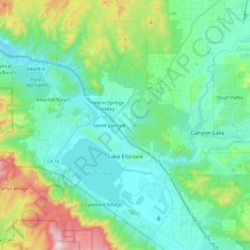
Nome: Mappa topografica Lake Elsinore, altitudine, rilievo.
Altitudine media: 531 m
Altitudine minima: 358 m
Altitudine massima: 1’076 m