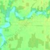
Mappa topografica Johnston Channel
Clicca sulla mappa per visualizzare l'altitudine.
Johnston Channel
The creek begins at the right bank of the Chenail Ecarté (The Snye) at an elevation of 175 metres (574 ft), west of the community of Wallaceburg. It meanders south, then turns southwest, and reaches its mouth at Johnston Bay on Lake St. Clair, at an elevation of 175 metres (574 ft). Lake St. Clair flows via the Detroit River to Lake Erie.
A proposito di questa mappa
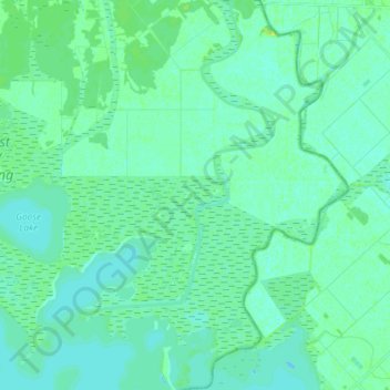
Nome: Mappa topografica Johnston Channel, altitudine, rilievo.
Altitudine media: 176 m
Altitudine minima: 172 m
Altitudine massima: 185 m
Altre mappe topografiche
Clicca su una mappa per visualizzarne la topografia, l'altitudine e il rilievo.