
Mappa topografica Victoria West
Mappa interattiva
Clicca sulla mappa per visualizzare l'altitudine.
A proposito di questa mappa
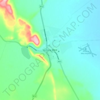
Nome: Mappa topografica Victoria West, altitudine, rilievo.
Altitudine media: 1’290 m
Altitudine minima: 1’250 m
Altitudine massima: 1’443 m
Victoria West is a town in the central Karoo region of South Africa's Northern Cape province. It is situated on the main N12 route, at an elevation of 1,300 metres (4,300 ft). It is the seat of the Ubuntu Local Municipality within the Pixley ka Seme District Municipality.