Mappa topografica Chang La
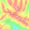
Clicca sulla mappa per visualizzare l'altitudine.
Chang La
Chang La is a high mountain pass in Ladakh at an elevation of 5,391.3024 m (17,688.000 ft) in the Ladakh Range between Leh and the Shyok River valley. The Chang La, on Leh to Pangong Lake road, lies on the Leh-Karu-Sakti-Zingral-Chang La-Durbuk-Tangtse-Pangong Lake motorable road. Karu, which lies on Leh-Manali NH-3, connects Chang La and Pangong Lake to Leh and the rest of India. In September 2021, BRO opened another alternate motorable asphalt road between Zingral and Tangtse via Ke La pass (5,669.28 m or 18,600.0 ft) and Taruk (also spelled Tharuk).
A proposito di questa mappa
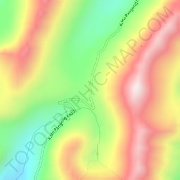
Nome: Mappa topografica Chang La, altitudine, rilievo.
Luogo: Chang La, Leh, Ladakh, India (34.04712 77.93039 34.04722 77.93049)
Altitudine media: 5’464 m
Altitudine minima: 5’093 m
Altitudine massima: 5’821 m
Altre mappe topografiche
Clicca su una mappa per visualizzarne la topografia, l'altitudine e il rilievo.

Indus
India > Ladakh > Leh Tehsil
In the uppermost, highest part of the Indus River basin there are relatively few genera and species: Diptychus, Ptychobarbus, Schizopyge, Schizopygopsis and Schizothorax snowtrout, Triplophysa loaches, and the catfish Glyptosternon reticulatum. Going downstream these are soon joined by the golden mahseer Tor…
Altitudine media: 4’192 m