
Mappa topografica Mount Davis
Mappa interattiva
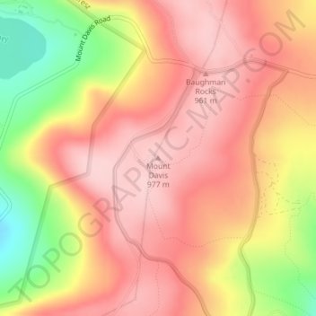
Clicca sulla mappa per visualizzare l'altitudine.
A proposito di questa mappa
Nome: Mappa topografica Mount Davis, altitudine, rilievo.
Altitudine media: 908 m
Altitudine minima: 780 m
Altitudine massima: 975 m
Mount Davis has a humid continental climate that is affected by the high elevation significantly enough that the area feels slightly more like a cooler version of the climate zone during the winter months. Due to its high elevation, the area is colder much of the winter than Altoona, Johnstown, or State College, despite being well south of those locations. During the summer months, the area is a retreat for other Pennsylvanians with high temperatures averaging around 15 degrees cooler than Pittsburgh and eastern portions of the state. Mount Davis recorded many impressive record lows and is quite close to the state's all-time coldest temperature.
Altre mappe topografiche
Clicca su una mappa per visualizzarne la topografia, l'altitudine e il rilievo.
Boynton
United States > Pennsylvania > Somerset County > Elk Lick Township > Boynton
Boynton, Elk Lick Township, Somerset County, Pennsylvania, 15532, United States
Altitudine media: 656 m