
Mappa topografica Ashbourne CP
Mappa interattiva
Clicca sulla mappa per visualizzare l'altitudine.
A proposito di questa mappa
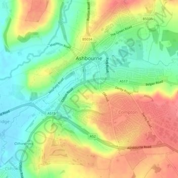
Nome: Mappa topografica Ashbourne CP, altitudine, rilievo.
Altitudine media: 147 m
Altitudine minima: 112 m
Altitudine massima: 187 m
Ashbourne lies at 53°01′N 01°44′W / 53.017°N 1.733°W / 53.017; -1.733. Ashbourne Green and Sturston are hamlets close by. Henmore Brook, a tributary of the River Dove, flows through the middle of the town. It has an elevation of 400 feet (122 m).