
Mappa topografica Venezuela
Mappa interattiva
Clicca sulla mappa per visualizzare l'altitudine.
Venezuela
Shaped roughly like a triangle, the country has a 2,800 km (1,700 mi) coastline in the north, which includes numerous islands in the Caribbean and the northeast borders the northern Atlantic Ocean. Most observers describe Venezuela in terms of four fairly well defined topographical regions: the Maracaibo lowlands in the northwest, the northern mountains extending in a broad east–west arc from the Colombian border along the northern Caribbean coast, the wide plains in central Venezuela, and the Guiana Highlands in the southeast.
A proposito di questa mappa
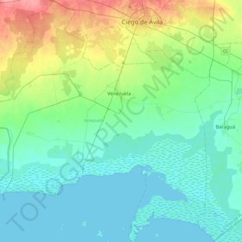
Nome: Mappa topografica Venezuela, altitudine, rilievo.
Luogo: Venezuela, Ciego de Avila, 67800, Cuba (21.52818 -79.02226 21.87207 -78.65660)
Altitudine media: 19 m
Altitudine minima: -2 m
Altitudine massima: 81 m