
Mappa topografica Draper
Mappa interattiva
Clicca sulla mappa per visualizzare l'altitudine.
Draper
Draper's climate is roughly identical to that of other Salt Lake City suburbs. However, due to being further away from the Great Salt Lake, varied elevation, and from the downtown urban heat island effect, Draper experiences a slightly drier winter, and more extremes in temperatures.
A proposito di questa mappa
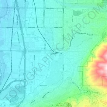
Nome: Mappa topografica Draper, altitudine, rilievo.
Luogo: Draper, Salt Lake County, Utah, 84020, United States (40.48478 -111.90280 40.56478 -111.82280)
Altitudine media: 1’464 m
Altitudine minima: 1’313 m
Altitudine massima: 2’333 m