
Fai una donazione
Equipaggiati per la tua prossima avventura:
In qualità di Affiliato Amazon, questo sito riceve una commissione sugli acquisti idonei, senza costi aggiuntivi per l’utente.
Mappa topografica Caruso
Clicca sulla mappa per visualizzare l'altitudine.
Fai una donazione
Equipaggiati per la tua prossima avventura:
In qualità di Affiliato Amazon, questo sito riceve una commissione sugli acquisti idonei, senza costi aggiuntivi per l’utente.
A proposito di questa mappa
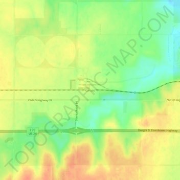
Nome: Mappa topografica Caruso, altitudine, rilievo.
Altitudine media: 1’135 m
Altitudine minima: 1’110 m
Altitudine massima: 1’154 m
Fai una donazione
Equipaggiati per la tua prossima avventura:
In qualità di Affiliato Amazon, questo sito riceve una commissione sugli acquisti idonei, senza costi aggiuntivi per l’utente.
Altre mappe topografiche
Clicca su una mappa per visualizzarne la topografia, l'altitudine e il rilievo.
Kanorado
United States > Kansas > Sherman County
On February 10, 2016 the House of Representatives of the State of Kansas passed a Resolution (Res.#6033) designating the City of Kanorado as the Top City of Kansas. This is due to it being the highest city elevation in the State of Kansas at 3,907 feet.
Altitudine media: 1’191 m
Goodland
United States > Kansas > Sherman County
Goodland is located at 39°21′3″N 101°42′37″W / 39.35083°N 101.71028°W / 39.35083; -101.71028 (39.3508330, −101.7101722) at an elevation of 3,681 feet (1,122 m). It lies on the south side of the Middle Fork of Sappa Creek, part of the Republican River watershed, in the High Plains region…
Altitudine media: 1’120 m