
Mappa topografica Chintamani
Clicca sulla mappa per visualizzare l'altitudine.
Chintamani
Chintamani lies in the southeast of the South Indian state of Karnataka. It is in the heart of the Mysore Plateau at an average elevation of 865 m (2,838 ft). The Taluk geographically lies between 78°12′36″N 13°16′38″E / 78.21000°N 13.27722°E / 78.21000; 13.27722 and 77°51′39″N 13°42′00″E / 77.86083°N 13.70000°E / 77.86083; 13.70000. The Chintamani Town lies between 13°24′N 78°04′E / 13.40°N 78.06°E / 13.40; 78.06.
A proposito di questa mappa
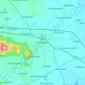
Nome: Mappa topografica Chintamani, altitudine, rilievo.
Altitudine media: 886 m
Altitudine minima: 833 m
Altitudine massima: 1’336 m