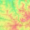
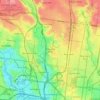
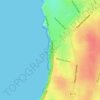
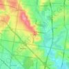
Mappa topografica Fitzroy
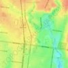
Clicca sulla mappa per visualizzare l'altitudine.
Fitzroy
Fitzroy's topography is flat. It is laid out in grid plan and is characterised by a fairly tightly spaced rectangular grid of medium-sized streets, with many of its narrow streets and back lanes facilitating only one-way traffic. Its built form is a legacy of its early history when a mixture of land uses was allowed to develop close to each other, producing a great diversity of types and scales of building.
A proposito di questa mappa
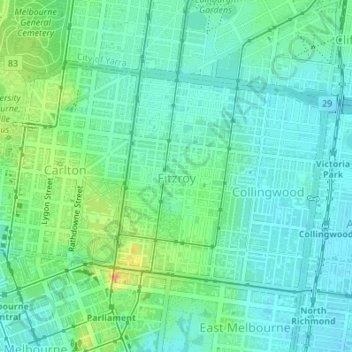
Nome: Mappa topografica Fitzroy, altitudine, rilievo.
Luogo: Fitzroy, Melbourne, Victoria, 3065, Australia (-37.80891 144.97320 -37.79291 144.98514)
Altitudine media: 35 m
Altitudine minima: 18 m
Altitudine massima: 82 m
Altre mappe topografiche
Clicca su una mappa per visualizzarne la topografia, l'altitudine e il rilievo.


Yarra Valley
Australia > Victoria > Melbourne
The Yarra Valley is the region surrounding the Yarra River in Victoria, Australia. The river originates approximately 240 km (150 mi) east of the Melbourne central business district and flows towards it and out into Port Phillip Bay. The name Yarra Valley is used in reference to the upper regions surrounding…
Altitudine media: 305 m









Gilbertsons Grassland Nature Conservation Reserve
Australia > Victoria > Melbourne
Altitudine media: 36 m





Mount Dandenong
Australia > Victoria > Melbourne
Mount Dandenong has a cool oceanic climate (Cfb), with cool to mild summers and cold, damp winters. Daytime temperatures are usually 4−6 °C cooler than downtown Melbourne due to its elevation and distance from the urban heat island effect of Melbourne. It is significantly cloudier than Melbourne,…
Altitudine media: 395 m


















Langwarrin Flora and Fauna Reserve
Australia > Victoria > Melbourne > Langwarrin
Altitudine media: 90 m





Narre Warren North Retarding Basin (Melbourne Water)
Australia > Victoria > Melbourne
Altitudine media: 76 m