
Mappa topografica Galveston
Mappa interattiva
Clicca sulla mappa per visualizzare l'altitudine.
A proposito di questa mappa
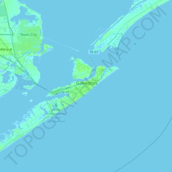
Nome: Mappa topografica Galveston, altitudine, rilievo.
Luogo: Galveston, Galveston County, Texas, 77553, United States (29.13933 -94.95459 29.45933 -94.63459)
Altitudine media: 1 m
Altitudine minima: -8 m
Altitudine massima: 23 m
On September 8, 1900, the island was struck by a devastating hurricane. This event holds the record as the United States' deadliest natural disaster. The city was devastated, and an estimated 6,000 to 8,000 people on the island were killed. Following the storm, a 10-mile (16 km) long, 17 foot (5.2 m) high seawall was built to protect the city from floods and hurricane storm surges. A team of engineers including Henry Martyn Robert (Robert's Rules of Order) designed the plan to raise much of the existing city to a sufficient elevation behind a seawall so that confidence in the city could be maintained.
Altre mappe topografiche
Clicca su una mappa per visualizzarne la topografia, l'altitudine e il rilievo.
Galveston Island
United States > Texas > Galveston County > Galveston
Galveston Island, Galveston, Galveston County, Texas, 77554, United States
Altitudine media: 2 m