

Mappa topografica Vindhya Range
Clicca sulla mappa per visualizzare l'altitudine.
Vindhya Range
Technically, the Vindhyas do not form a single mountain range in the geological sense. The exact extent of the Vindhyas is loosely defined, and historically, the term covered a number of distinct hill systems in central India, including the one that is now known as the Satpura Range. Today, the term principally refers to the escarpment and its hilly extensions that runs north of and roughly parallel to the Narmada River in Madhya Pradesh. Depending on the definition, the range extends up to Gujarat in the west, Uttar Pradesh and Bihar in the north, and Chhattisgarh in the east. The average elevation of the Vindhyas is also dependent on different sources.
A proposito di questa mappa
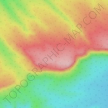
Nome: Mappa topografica Vindhya Range, altitudine, rilievo.
Luogo: Vindhya Range, Goharganj Tahsil, Raisen, Madhya Pradesh, India (23.03495 77.88795 23.03505 77.88805)
Altitudine media: 504 m
Altitudine minima: 397 m
Altitudine massima: 593 m
Altre mappe topografiche
Clicca su una mappa per visualizzarne la topografia, l'altitudine e il rilievo.

