
Mappa topografica Dharavi
Clicca sulla mappa per visualizzare l'altitudine.
A proposito di questa mappa
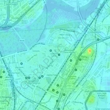
Nome: Mappa topografica Dharavi, altitudine, rilievo.
Luogo: Dharavi, Zone 2, Mumbai, Maharashtra, India (19.03688 72.84842 19.05423 72.86513)
Altitudine media: 6 m
Altitudine minima: -4 m
Altitudine massima: 32 m
Altre mappe topografiche
Clicca su una mappa per visualizzarne la topografia, l'altitudine e il rilievo.
Mumbai
India > Maharashtra > Mumbai
Mumbai is on a narrow peninsula on the southwest of Salsette Island, which lies between the Arabian Sea to the west, Thane Creek to the east and Vasai Creek to the north. Mumbai's suburban district occupies most of the island. Navi Mumbai is east of Thane Creek and Thane is north of Vasai Creek. Mumbai…
Altitudine media: 18 m